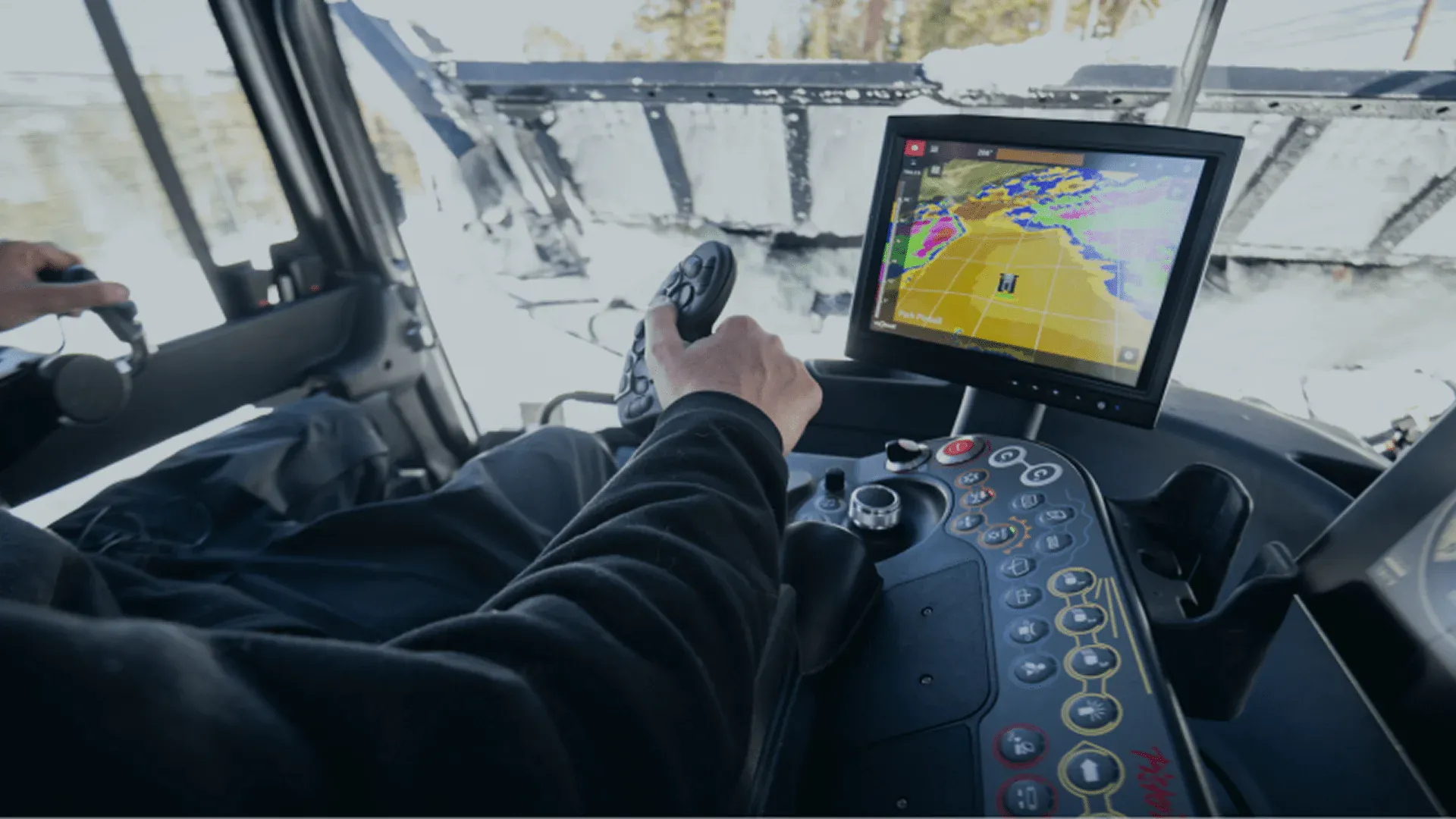
Connecting Resorts To Their Data
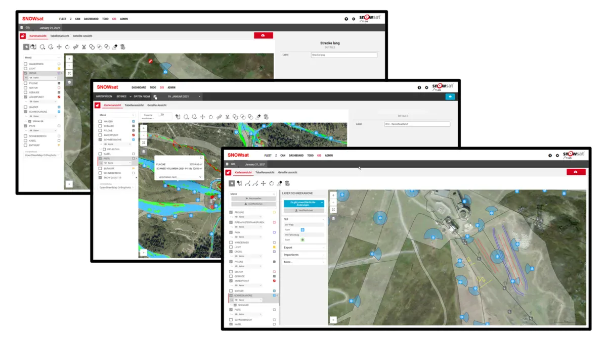
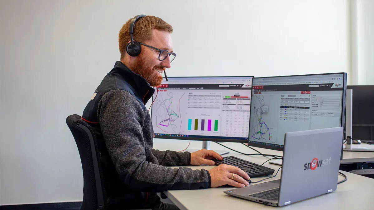
With SnowSat LiDAR, you enable your team t make quicker and more efficient decisions and processes in your ski area. Not only do you have a continuous overview of real-time snow depth on a map customized to your resort, but you'll have reporting and evaluation tools at your fingertips. SnowSat digital solutions are designed to improve cross-departmental task management and create clearer communication.


Feature Modeling
Do you have a terrain park feature, race course, or unique area you need mapped to scale? Our SnowSat team loves a custom mapping project and will help you design to the specs you need. Then, the image of the feature will appear on the SnowSat screen inside the PistenBully, allowing operators to build with set, predetermined measurements and guidelines. The best part? You can use the map again and again, year after year -- building to the exact same scale every time.
SnowSat LiDAR
SnowSat LiDAR is the revolutionizing snow depth measurement system, offered only by Pistenbully. SnowSat LiDAR measures up to 165 in front of the machine, allowing operators to respond more efficiently and work with real-time snow data, with up to 200,000 data points per second. SnowSat LiDAR allows you to:
- Realize greater cost savings
- Keep quick-melting areas open for longer
- Lower maintenance costs due to hazard detection
- More easily train new operators
Video Spotlights
See SnowSat LiDAR in action at resorts across North America.

